USV · ASV · AUTONOMOUS MARITIME PLATFORMS

Autonomous
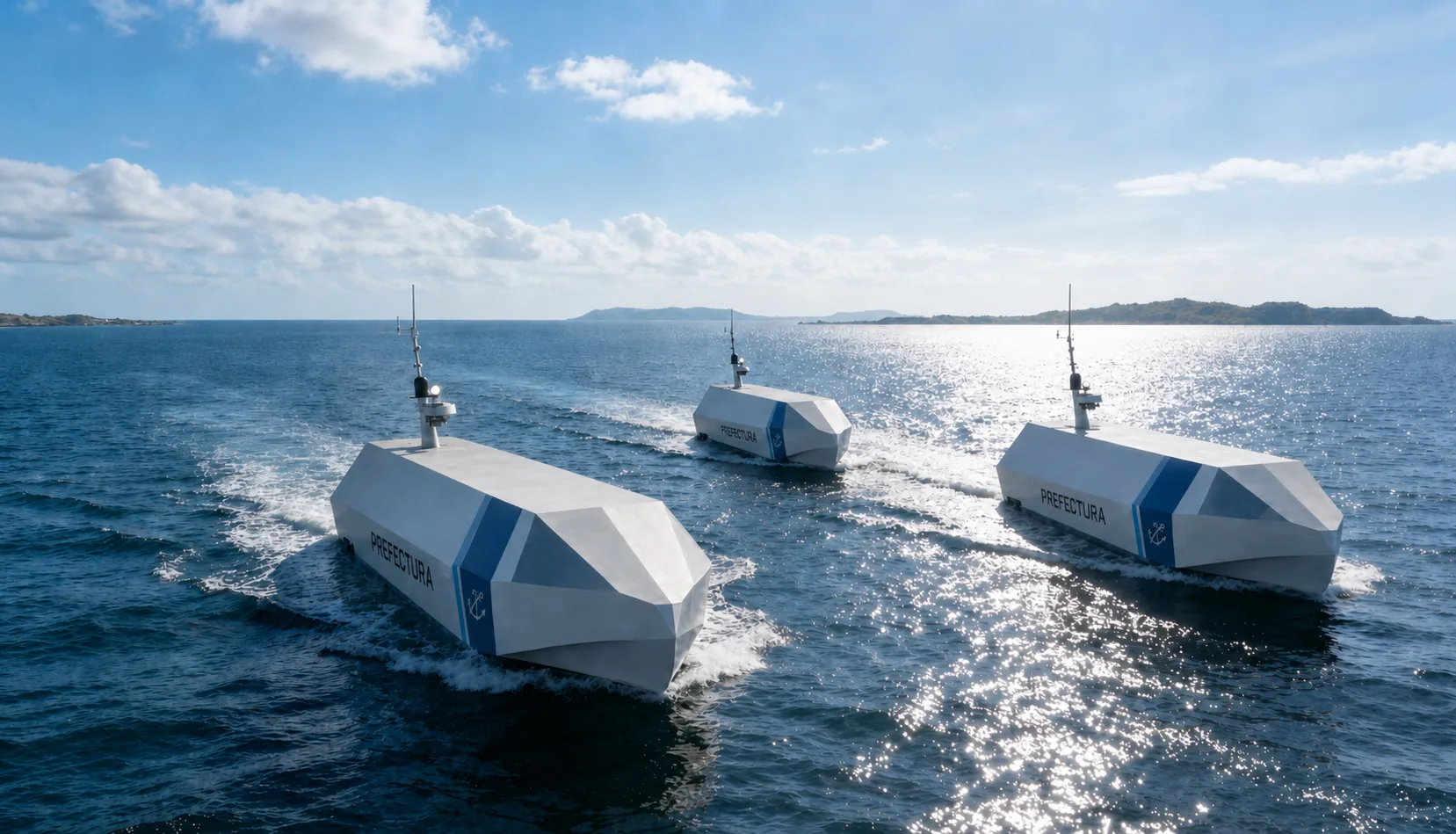
USV Fleet

Maritime platforms from coastal reconnaissance and rapid interception to heavy logistics support. We build the boat, and we write the system.

6platforms
4–24metre range
1autonomy architecture

OPERATIONAL CONCEPT

A new paradigm for modern maritime defence

Reshaping maritime mission capability through modularity, autonomy and asymmetric tactics.

01

Asymmetric strategy

A low-cost, high-manoeuvrability unmanned fleet establishes tactical advantage and reduces personnel exposure in high-threat waters.

02

Mission modularity

A single core platform with mission modules, switching rapidly between reconnaissance, surveillance, resupply and interception.

03

Autonomous round-the-clock operation

Sensor fusion and AI-assisted decision-making support extended unattended operation and full-time autonomous missions.

COMMON AUTONOMY ARCHITECTURE

Core brain: one shared intelligence architecture

Sensing, communications and adaptive control form a scalable mission platform.

Sensor fusion

Radar, EO/IR, AIS and environmental sensors integrated into a complete maritime situational picture.

Multi-link communications

Mesh RF, satellite communications, 4G / 5G and mission data links for high-availability connectivity.

Adaptive control

Speed, heading and autonomous behaviour adjusted in real time to sea state, mission and energy status, optimising endurance.

Modular payload

Reconnaissance, surveillance, resupply and mission modules swap quickly on the same platform, sharing logistics and training across vessel types.

SYSTEM ADVANTAGES

Why choose CORUM systems

A hull can be outsourced; a control system cannot. Hull, propulsion, marine control electronics and operating software are all developed and integrated in-house.

Vertical integration

Hull, propulsion, marine control boards and operating software all developed in-house — interfaces and accountability are not spread across multiple suppliers, so fault isolation and upgrades come straight from us.

Layered redundancy

Critical sensor sources follow a priority chain with automatic handover: when the primary source fails the system switches to the backup and tells the operator plainly, reclaiming the primary the moment it returns.

Safety independent of the link

Geofencing and link-loss handling run in the onboard autonomy layer and stay effective even when the command link drops — safety does not sit on the chain that can break.

Honest instrumentation

Every value on screen maps to a real sensor source. Where there is no data the system shows "--" and never fills the gap with an estimate; a reading that was present and then stops raises its own separate alert.

Sovereign and self-contained

Software developed in-house with license-clean components, no cloud dependency, full offline operation and data resident locally — suited to the licensing review of sensitive procurement.

49 Taiwan invention patent applications filed, covering command and control software, perception and autonomy, thermal AI perception, embedded control, navigation safety, cross-domain unified command including UAV extension, and precision berthing.

THE FLEET

Three series, six platforms

Fast tactical, strategic logistics and long-range low-visibility, covering the full 4 to 24 metre range.

Piranha Series

Coastal patrol, high-speed interception and multi-domain cooperation

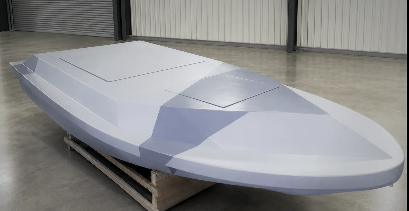
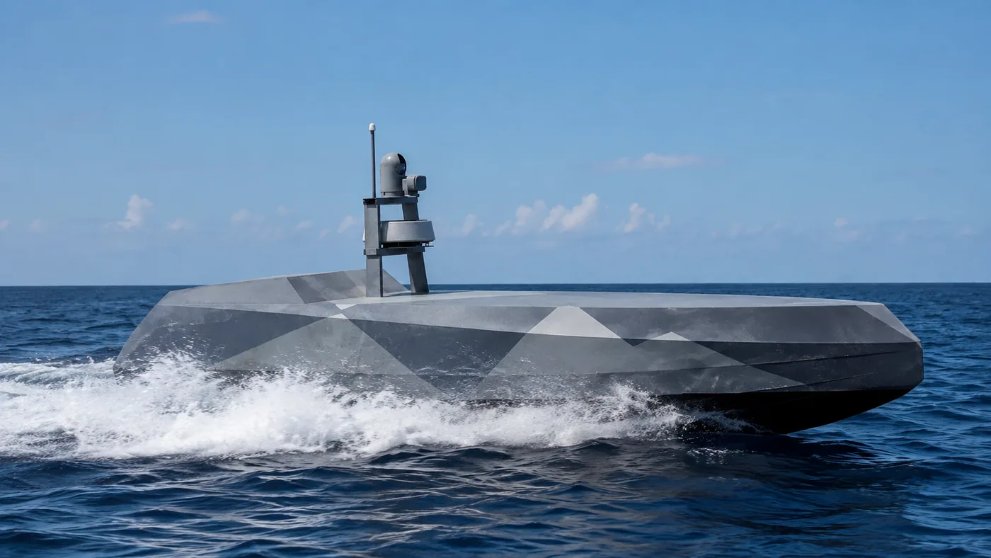
The Piranha series is designed for coastal, port and high-threat waters, emphasising stealth, speed and rapid deployment, with support for reconnaissance, surveillance and cooperative mission modules.

Platform range
4–9 m
Maximum speed
55+ kn
Primary mission
ISR · Escort
Piranha 44 m

Piranha 4

Vessel completed

Pure electric lightweight · ultra-silent patrol

Dimensions
4 m × 1.7 m
Top speed
31 kn
Sea state
Sea state 3
Weight
Full load 300 kg
Range
36 nm · glide economic 24 nm
Propulsion
Pure electric · ultra-quiet
Mission profile
Covert coastal patrol, unmanned reconnaissance and automated monitoring in shallow waters.
Request for more information
Piranha 66 m

Piranha 6

Vessel completed

High endurance · all-weather coastal defence · four powertrain options

Dimensions
6 m × 2.1 m
Top speed
45–55 kn
Sea state
Sea state 5
Weight
Full load 1.6 t · payload 250 kg
Range
215–442 nm (by powertrain)
Propulsion
Petrol 250/350 HP · diesel 250 HP
Mission profile
Base perimeter security, long-duration port monitoring, maritime defence and sea zone patrol.
Powertrain options

One hull, one payload, four powertrain configurations for different range and speed requirements.

VariantPowertrainFuelRangeSpeedEndurance
ST1Petrol 250 HP200 L215 nm47 kn8 h
ST2Petrol 250 HP300 L295 nm47 kn12 h
ST3Petrol 350 HP300 L286 nm55 kn11 h
ST4Diesel 250 HP300 L442 nm45 kn17 h

Powertrain and range customisable on request

Request for more information
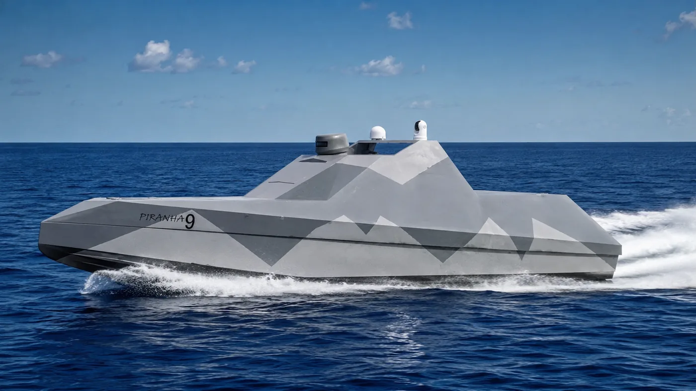
Piranha 99 m

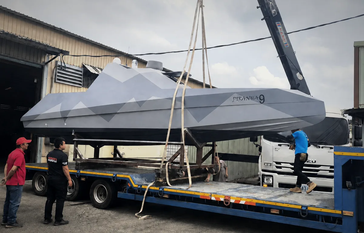
Piranha 9

Vessel completed · sea trialled

Flagship stealth high-speed platform · multi-domain cooperation

Dimensions
9 m × 2.3 m
Top speed
55+ kn
Sea state
Stable in sea state 6
Weight
Full load 2.5 t · payload 850 kg
Range
250 nm
Propulsion
Twin waterjet propulsion
Mission profile
Long-range high-speed interception, swarm tactics and cooperative operations with surface and aerial unmanned vehicles.
Sea trial footage
Request for more information

Cachalote Series

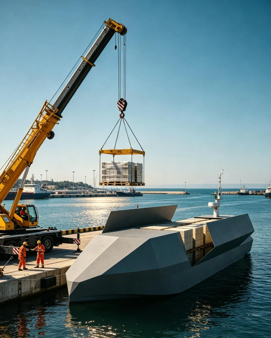
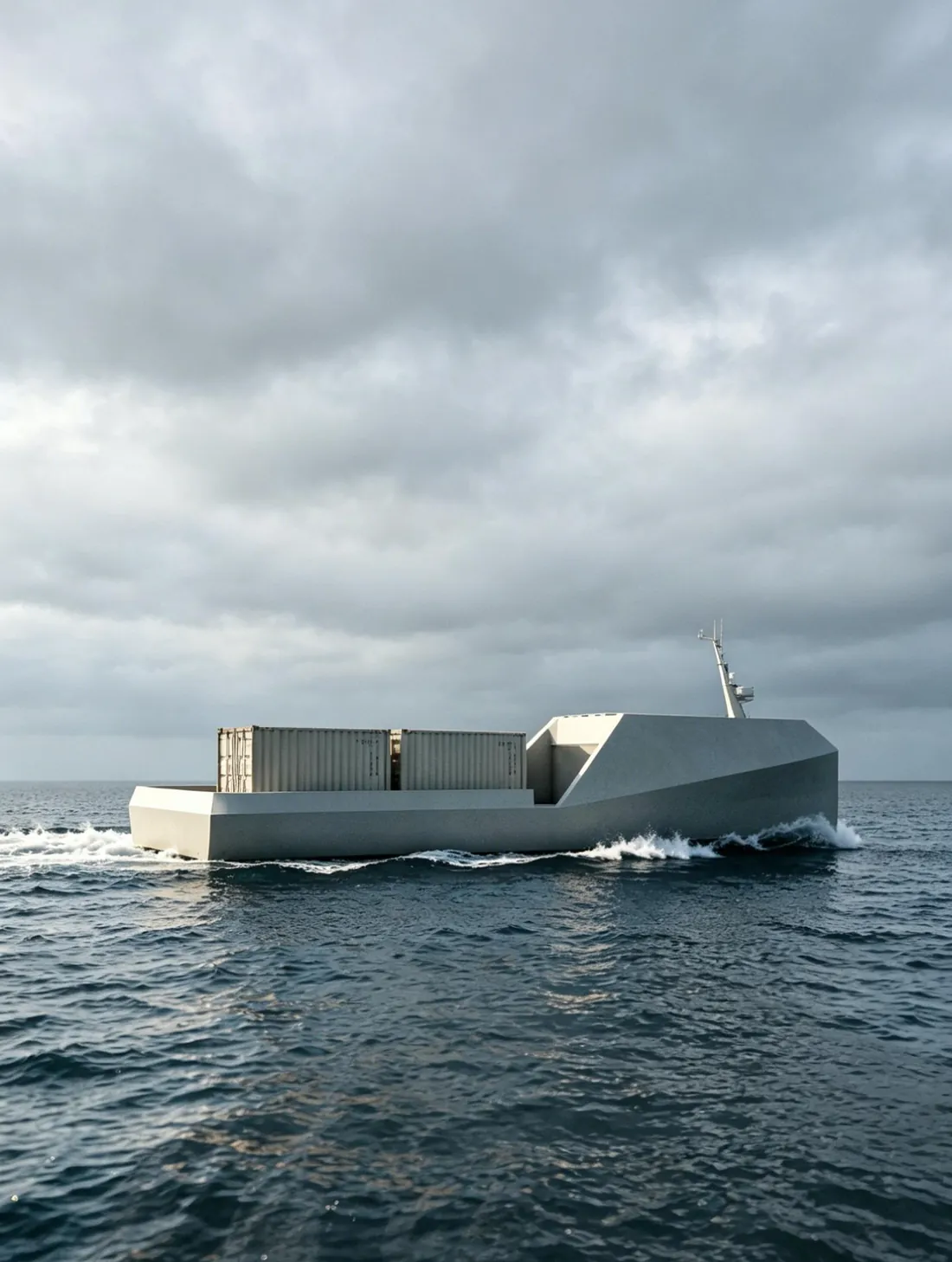
Autonomous maritime force from rapid resupply to heavy intercontinental logistics

The Cachalote series delivers supplies, equipment and mission modules to maritime or forward positions, providing autonomous, low personnel-risk and sustainable logistics support.

Platform range
14–24 m
Payload
3–48 t
Endurance
1100–1600 nm
Cachalote 1414 m

Cachalote 14

Under construction

Rapid heavy resupply · forward logistics

Dimensions
14 m × 3.3 m
Top speed
45 kn
Sea state
Stable in sea state 6
Weight
Full load 10 t · payload 3 t
Range
1100 nm
Propulsion
Hybrid diesel-electric / diesel
Mission profile
Rapid combat zone resupply, forward operating base (FOB) support and automated provisioning.

Powertrain and range customisable on request

Request for more information
Cachalote 2424 m

Cachalote 24

Design stage

Heavy transport · 48-tonne class intercontinental autonomous vessel

Dimensions
24 m × 6 m
Cruising speed
12 kn
Sea state
Sea state 6
Weight
Full load 100 t · payload 48 t
Range
1600 nm
Propulsion
Twin diesel
Mission profile
Long-range resupply, coastal long-distance logistics, cross-domain maritime transport and autonomous cruising.
Request for more information

Mahi-mahi Series

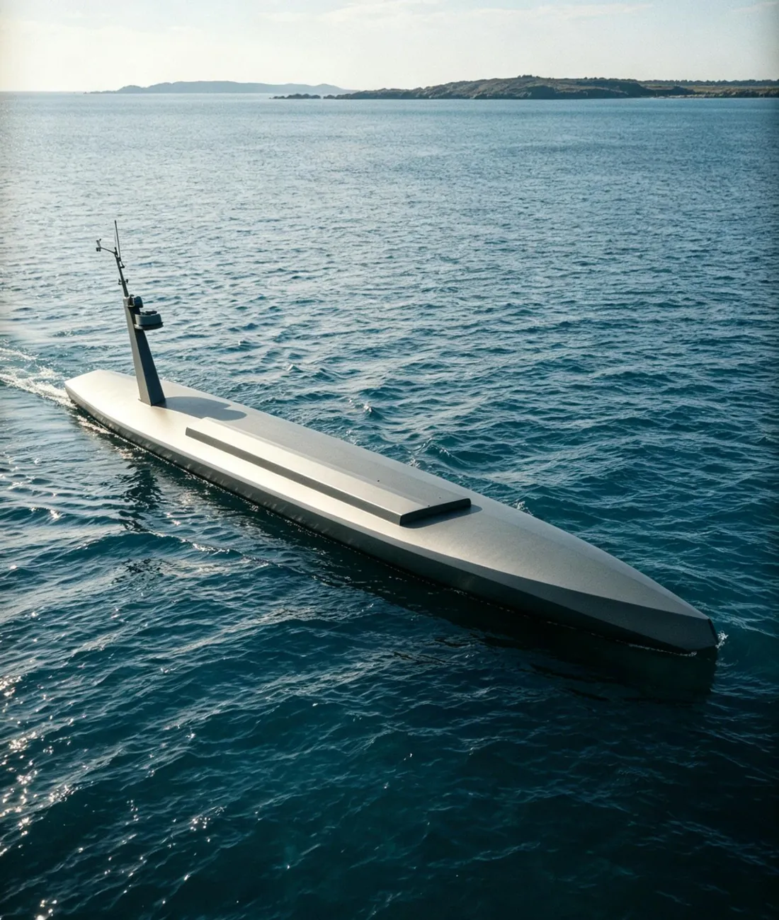
Semi-submersible · long-range autonomous platform

The Mahi-mahi series centres on a semi-submersible low-visibility profile, suited to long-range covert resupply, maritime deployment and special mission support; the platform is configurable by mission module to reduce personnel exposure.

Platform length
20 m
Payload
5 t
Range
2300 nm
Mahi-mahi 2020 m

Mahi-mahi 20

Design stage

Semi-submersible USV · long-range low-visibility platform

Dimensions
20 m × 2.4 m
Cruising speed
8 kn
Sea state
Sea state 6
Weight
Payload 5 t
Range
2300 nm
Propulsion
Diesel
Mission profile
Long-range covert resupply, maritime forward deployment and special mission support.
Request for more information

FLEET COMPARISON MATRIX

Full fleet specifications

Unified columns for rapid comparison of mission platforms.

PlatformPiranha 4Piranha 6Piranha 9Cachalote 14Cachalote 24Mahi-mahi 20
Length4 m6 m9 m14 m24 m20 m
Load full / payload300 kg1.6 t / 250 kg2.5 t / 850 kg10 t / 3 t100 t / 48 t— / 5 t
Top speed31 kn45–55 kn55+ kn45 kncruise 12 kncruise 8 kn
Range36 nm215–442 nm250 nm1100 nm1600 nm2300 nm
PropulsionElectricPetrol / dieselTwin waterjetHybrid / dieselTwin dieselDiesel
Sea stateSS 3SS 5SS 6SS 6SS 6SS 6

Best in class

* Specifications may be adjusted for mission, configuration and sea conditions; actual performance is defined by the final technical documentation.

SOFTWARE & COMMAND ECOSYSTEM

Command ecosystem: from single vessel to full domain

One shared sensing, communications and autonomy core, scaling seamlessly from single-vessel operation to full-domain coordination.

PILOT

Single-vessel smart control

Autonomous control and mission management centred on single-vessel operation, integrating video sensing and navigation control; one station can hold up to five vessels.

Recreation, industry & public agencies

NEREUS

Fleet command & control

Fleet-level command and control for multi-vessel coordination, formation management and a shared operational picture, with an optional UAV module.

Coast guard & commercial fleets

Restricted distribution

DUBHE

Cross-domain command & control

Extended command capability for government and military clients, planned and customised to requirement; details under restricted distribution.

Defence & government programmes

CORUM PILOT

PILOT: one operator, one screen

CORUM PILOT brings navigation, mission planning, live video and full vessel status onto a single screen. No juggling between separate devices — one operator holds complete command of the vessel's navigation, cameras and machinery, and a single station can hold up to five vessels. Every platform in the range runs the same interface.

2.1

Main control screen

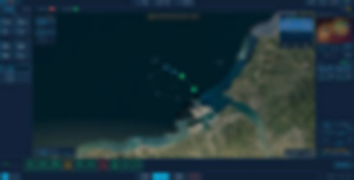
A single screen integrates the satellite chart, live track, camera feed and twin-engine control. Chart and route at centre, navigation data and operating modes on the left, video and engines on the right; nearby vessels are monitored automatically with approach alerts.

  • Live situation: own position, track, waypoints and nearby vessels overlaid on the satellite chart.
  • Collision alerts: closest-approach distance calculated automatically, with prominent warnings.
  • Three modes: auto mission, heading hold and manual control; nudging the joystick takes over seamlessly.
  • Image recognition: thermal and visible views auto-frame vessels and buoys with confidence scores.
Main control screen
Figure 1 Main control screen: chart situation, collision alerts, twin-engine control and thermal view on one screen (demonstration data). UI shown in Chinese; interface localisation is configurable per project.Interface content is blurred; layout and operating logic only.
Mission planning
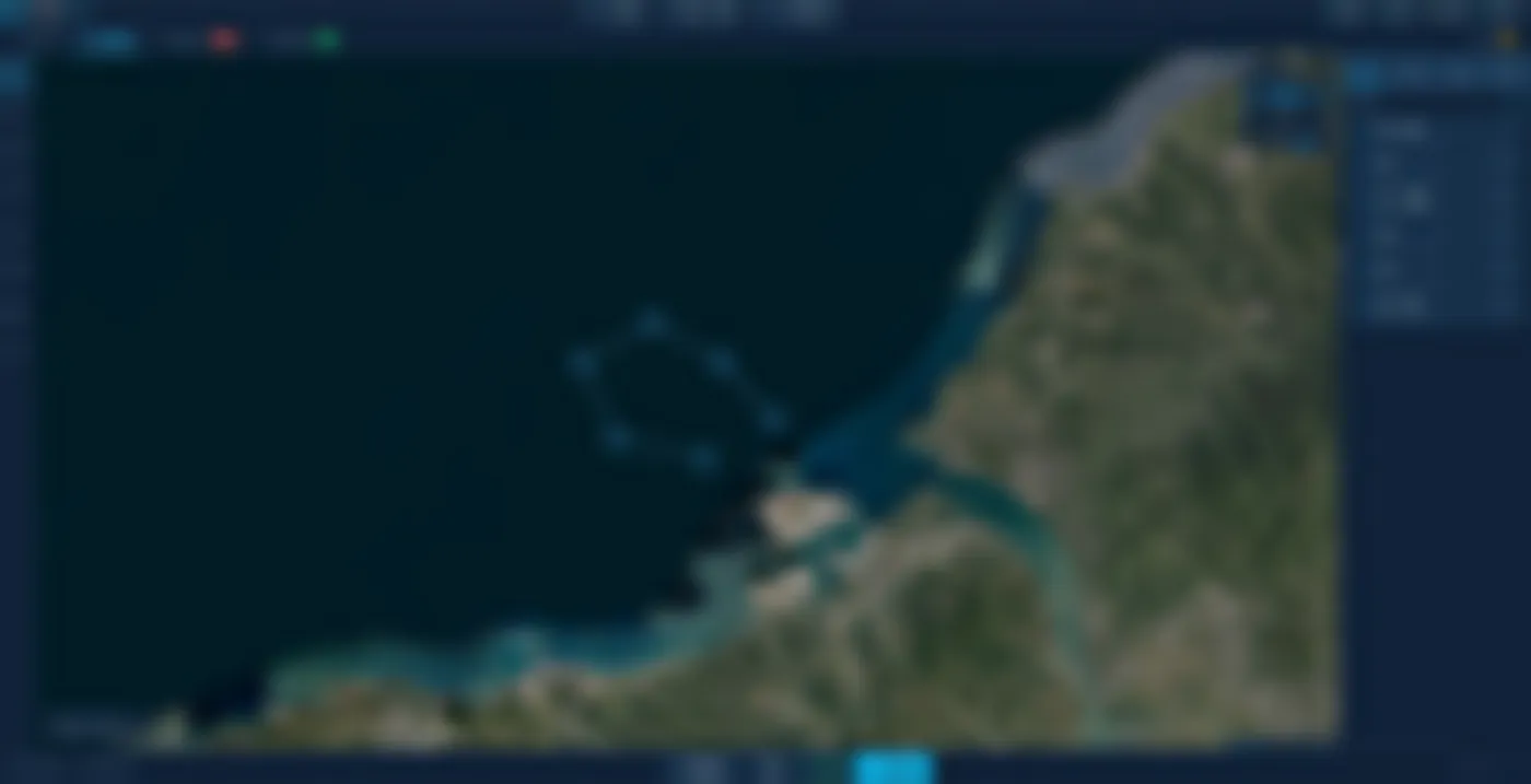
Figure 2 Mission planning: waypoint routes, area sweep and boundary / exclusion-zone setup (demonstration data).Interface content is blurred; layout and operating logic only.

2.2

Mission planning

On satellite imagery or a nautical chart, a mission is drawn like a route: waypoints, loiter points, automatic area sweeps, mission boundaries and exclusion zones. One click uploads it to the vessel, after an automatic safety check.

  • Multiple tools: point-to-point routes, fixed loiter, and auto-generated rectangular sweeps with adjustable spacing.
  • Zone control: draw mission boundaries and exclusion zones; automatic navigation never crosses them.
  • Pre-departure check: waypoints, depth and restricted zones verified before upload, with distance and time estimates.
  • Fine adjustment: drag waypoints on the chart or enter values numerically.

2.3

Video monitoring & target tracking

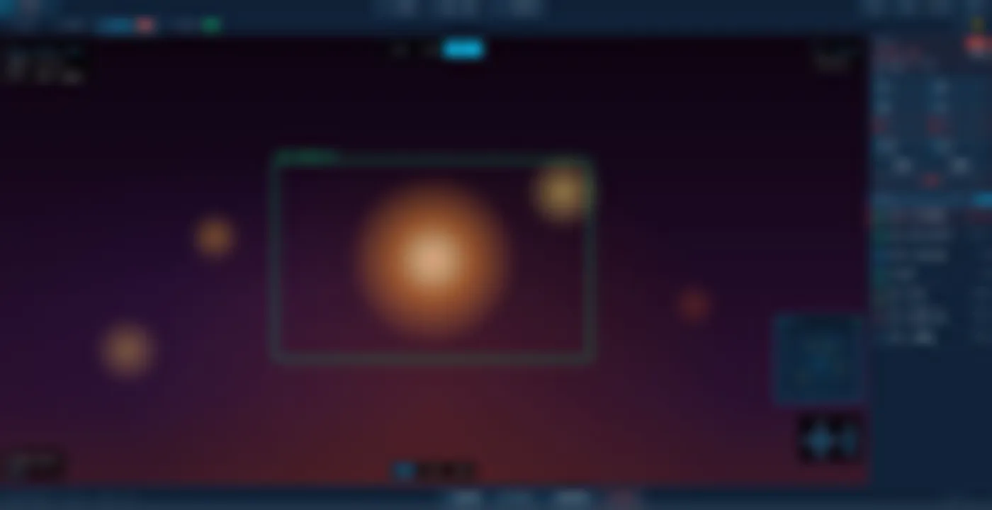
The stabilised gimbal camera switches between thermal, colour and visible modes; tapping a target on screen locks and tracks it automatically. The system fuses radar, infrared and vessel identification, continuously showing range, bearing and speed — just as clear at night or in poor visibility.

  • Tap to track: tap a detection box to lock on; the gimbal follows and keeps range and bearing updated.
  • Three lens modes: thermal / colour / visible switched instantly, 4K quality with laser rangefinder.
  • Data fusion: radar, infrared and vessel ID merged onto the same target for more reliable reading.
  • Contact list: all nearby targets in a live list — vessels, buoys and human heat signatures.
  • Night ally: thermal imaging makes night and fog navigation and search just as reassuring.
Video monitoring & target tracking
Figure 3 Video monitoring: gimbal target lock, multi-source fusion and range measurement (demonstration data).Interface content is blurred; layout and operating logic only.
Vessel monitoring
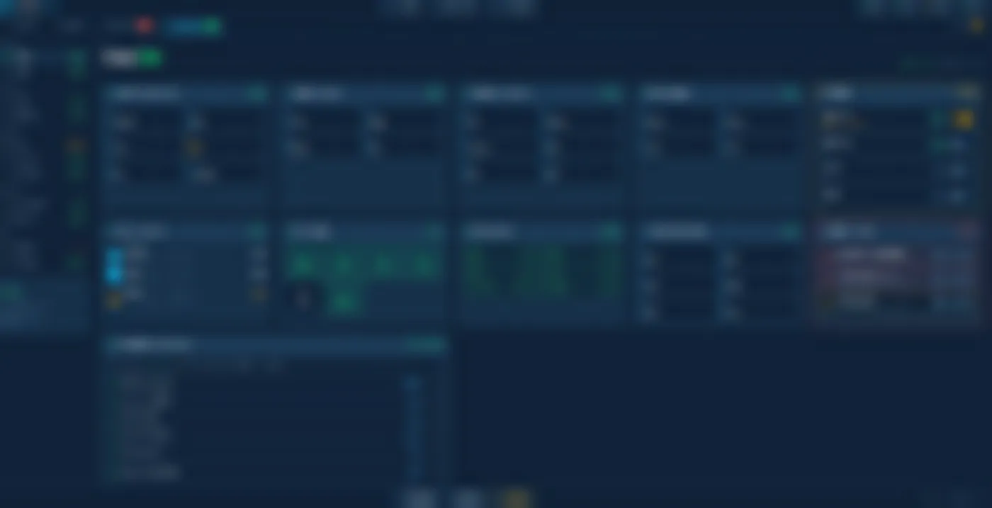
Figure 4 Vessel monitoring: main engine, power, pumps, levels and alarms, updating live (demonstration data).Interface content is blurred; layout and operating logic only.

2.4

Vessel monitoring

The whole vessel's electromechanical status on one page: engines, generation, batteries, fuel and water levels, pumps, navigation lights and alarms — as intuitive as a car dashboard. Pumps switch remotely; alarms display by severity and are acknowledged one by one.

  • Whole-vessel view: engines, generator, batteries, fuel, fresh water and seawater cooling on one page.
  • Central alarms: all alarms graded by severity, acknowledged and cleared individually.
  • Remote control: bilge, grey-water and fire pumps switch auto/manual remotely.
  • Device health: connection status of every onboard sensor watched live, faults located fast.

Why choose PILOT

Easy to master

Every function on a single screen with intuitive logic; operators work independently after brief training.

One operator, one vessel

Navigation, video and machinery handled by one person — less crew, lower operating cost.

Safety first

Automatic collision alerts, exclusion-zone fencing, pre-mission safety checks, and manual takeover at any moment.

Modular by design

Optional feature modules to match real needs, from basic control to advanced image recognition — predictable budgeting.

Designed & built in Taiwan

Software and hull both developed and produced by the group, with first-hand service, warranty and upgrades.

SAFETY BY DESIGN

Safety protections

On every voyage, PILOT keeps watch with multiple layers of protection — from automatic pre-departure checks, through collision avoidance and zone fencing under way, to automatic return if communication fails. Safety runs through the whole journey, and the final decision always belongs to the operator.

MechanismDescription
Pre-departure checkWaypoint validity, depth safety and exclusion-zone conflicts verified automatically before every upload.
Collision alertsClosest approach distance and time to nearby vessels computed automatically, with alerts on approach.
Exclusion-zone fenceAutomatic navigation strictly respects mission boundaries and restricted zones.
Link-loss handlingOn communication loss: automatic return, fixed loiter or mission continuation as preset — the vessel never drifts out of control.
Instant manual takeoverIn automatic mode, nudging the joystick hands over control seamlessly — the last word is always human.

CORUM NEREUS

NEREUS: one station, a whole fleet

CORUM NEREUS is the fleet-level tier above PILOT. When an operation grows from one vessel to many, NEREUS brings every position, status and tasking onto one chart and one shared operational picture, so a small team can run the whole fleet.

One picture for the fleet

Positions, tracks, mission progress and alarms for every vessel on a single display, shared live to every station.

Formation & tasking

Multi-vessel coordination and formation management; missions assigned to an individual vessel or a whole group, with progress tracked.

Fleet administration included

Certificate expiry tracking, maintenance scheduling, fuel and consumption records — operations and administration in the same system, no separate spreadsheets.

Continuity of operation

Same interface language and operating logic as PILOT: a single-vessel operator steps up to a fleet station with minimal retraining.

CORUM DUBHE

Restricted distribution

DUBHE: a command station for heterogeneous formations

CORUM DUBHE is the unmanned fleet command and control system developed in-house by the group, sitting above PILOT and NEREUS. It commands mixed formations of unmanned surface vehicles (USV) and unmanned aerial vehicles (UAV) simultaneously, unifying situational awareness, swarm coordination, geofencing, voice command and authority control in a single command environment — enabling a small crew to conduct wide-area maritime surveillance and coordinated operations.

This page is a capability summary. Full technical documentation, configuration and integration detail are under restricted distribution, released only to addressee government and defence organisations.

Design positioning

Fleet command

A single command station controls multiple USVs and UAVs, with group-based delegation of authority and mixed formations across vehicle types.

Technological sovereignty

Software, control hardware and data link all developed in-house; the whole system runs fully offline with no cloud or foreign licensing dependency — data never leaves the system.

Intelligent protection

Multi-layer geofencing with automatic route correction; critical decisions are reserved for human-in-the-loop confirmation.

Clear accountability

Four-tier role-based access control (RBAC) with a tamper-proof audit log, meeting the governance and security requirements of government and defence organisations.

Operational continuity

Shares its interface language and operating logic with PILOT and NEREUS: a single-vessel operator steps up to fleet command with no learning curve.

3.1

Tactical fleet command

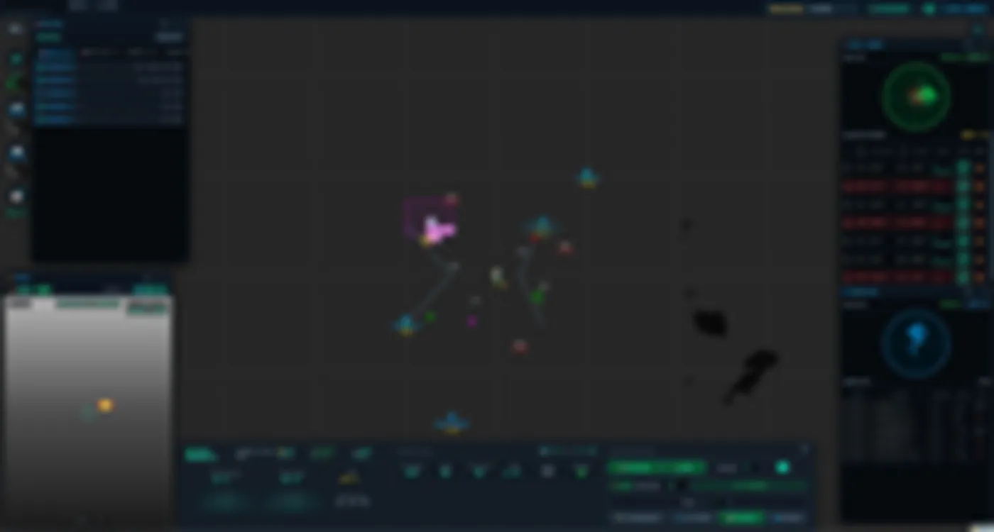
A complete command station on one chart: USV/UAV fleet list, radar with MARPA tracking, AIS targets with CPA/TCPA calculation, gyro-stabilised thermal imagery and propulsion control of the active vessel — all on a single screen.

  • Unified picture: fleet positions, tracks and geofence zones overlaid on the chart.
  • Radar + MARPA: automatic target tracking with radar–AIS–thermal fusion.
  • Collision avoidance: real-time CPA/TCPA with prominent alerting.
  • Live sensors: gyro-stabilised thermal panel and machinery control of the active vessel.
  • Voice command: voice engine activated from the top bar.
Tactical fleet command
Figure 1 Main tactical display: fleet list, radar + MARPA, AIS targets, stabilised thermal camera and machinery control (demonstration mode · simulated data). Interface localisation is configurable per project.Interface content is blurred; layout and operating logic only.
Wide-area picture & force identification
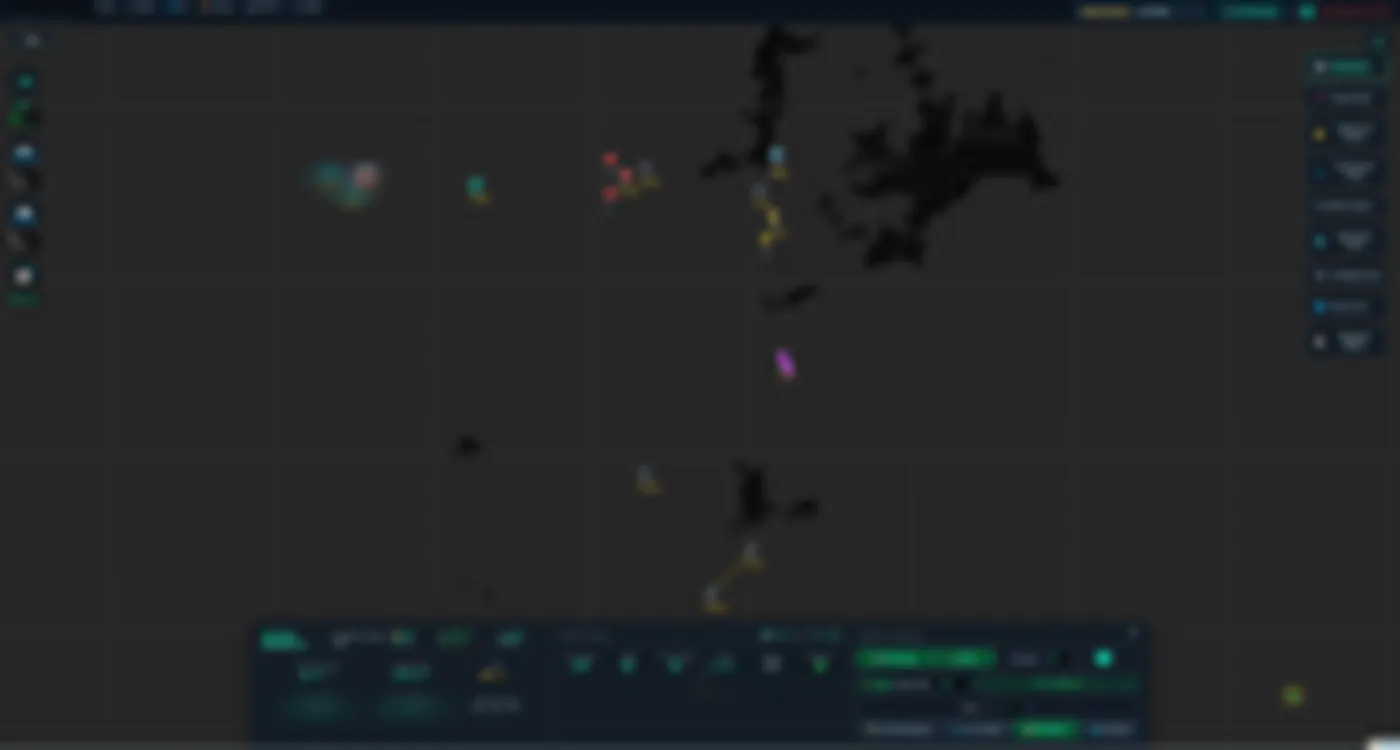
Figure 2 Extended theatre view: own fleet, identification-coded contacts and vessels of interest with heading and speed (demonstration mode · simulated data).Interface content is blurred; layout and operating logic only.

3.2

Wide-area picture & force identification

A wide-area view showing the full fleet deployed, with contacts colour-coded by friend–neutral–hostile identification, giving the commander the entire theatre disposition at a glance.

  • Visual classification: contacts colour-coded by force identification.
  • Free scaling: from close-quarters manoeuvring to a view spanning tens of miles, without losing fluidity.
  • Heading and speed: every contact displays its vector, identifier and speed.
  • Day/night modes: colour schemes for a darkened bridge or direct sunlight.

3.3

Mission & route planning

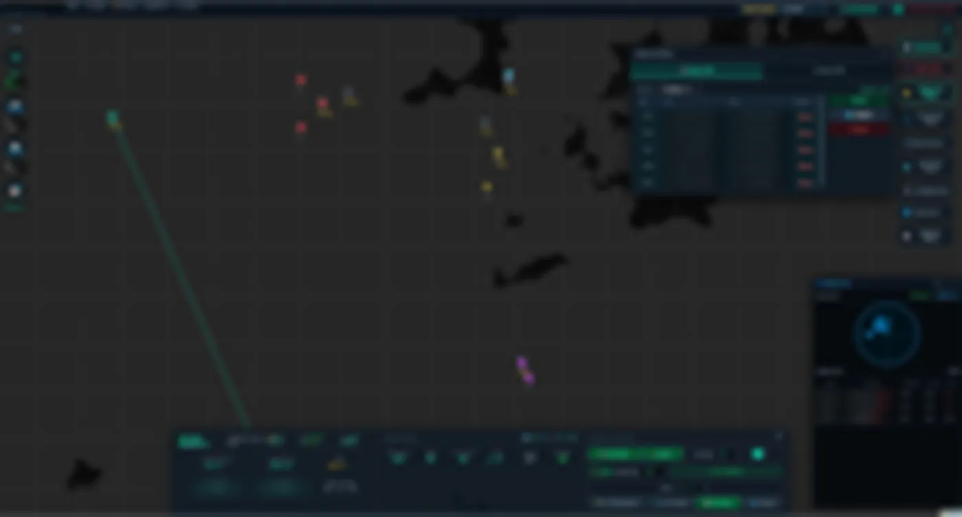
A unified route manager for USVs and UAVs: routes are edited directly on the chart, validated automatically and uploaded to the vehicle in one click, with automatic adjustment where a route conflicts with a geofence.

  • USV and UAV: separate tabs for surface and air routes in the same manager.
  • Precise editing: drag on the chart or enter coordinates numerically.
  • Auto-correction: routes adjusted and re-validated against geofence conflicts.
  • Direct upload: mission transfer to the vehicle with receipt confirmation.
Mission & route planning
Figure 3 Route manager: editable waypoints, automatic correction against geofences and direct upload to the selected vessel (demonstration mode · simulated data).Interface content is blurred; layout and operating logic only.
Heterogeneous USV/UAV operations: swarm coordination
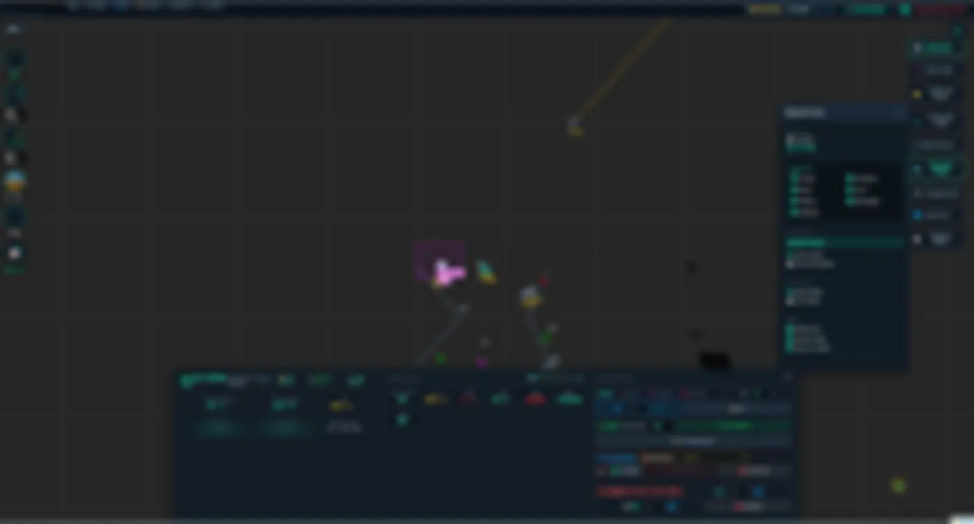
Figure 4 UAV group flight control: flight instruments, swarm command, S-57 chart and payload safety-sequence management (demonstration mode · simulated data).Interface content is blurred; layout and operating logic only.

3.4

Heterogeneous USV/UAV operations: swarm coordination

Built-in swarm engine: mixed USV + UAV formations, group command, aerial payload control with arming-sequence management, and automatically executed mission chains.

  • Formation management: multiple formation geometries with automatic station-keeping.
  • Area search: a range of search patterns selected to suit the area and the target.
  • Mission chains: transit, search, report and return can be linked into an automatically executed sequence.
  • Resilience: if a formation member is lost, the group reorganises and continues the mission.
  • Tactical advisor: automatic recommendations; the final decision always remains human.

Intelligent geofencing

Multi-layer protection: beyond classic exclusion zones, it covers depth safety and dynamic exclusion zones around moving contacts. The system corrects the route before a violation occurs, and the rerouting decision stays with the commander.

Protection layerCapability
Static geofenceExclusion zones and mission boundaries, with pre-alerting on approach and alarm on breach.
Depth geofenceDepth monitored against draft and safety margin to prevent grounding in shallow water.
Dynamic exclusionMoving exclusion zones derived from surrounding vessel traffic, with encounter-risk assessment.
Automatic route correctionWhere a route conflicts with a geofence, a corrected route is generated and safety-validated.
Human in the loopThe corrected route executes only after the commander confirms; the decision is fully logged.
Zone importOfficially published maritime exclusion zones can be imported and applied directly.

※ This section is a capability summary only. This and other core DUBHE methods fall within the group's patent applications; technical content is subject to official publication.

Voice command & target cueing

The commander can issue orders by voice: a single sentence executes compound actions — switching vehicles, opening a sensor panel or locking a target — with support for military number pronunciation. Speech recognition can run entirely on the machine with no network connection, and voice data never leaves the system.

CharacteristicDescription
Runs offlineSpeech recognition can run entirely on the machine with no network connection; voice data never leaves the system.
Operational vocabularyThe command set is tailored to the unit's operating procedures and language, and can be extended.

Spoken command examples

"Show me vessel five's radar"
Switches vessel + opens the radar panel
"Camera, lock target seven"
Slew-to-Cue onto target 07
"Release lock"
Gimbal returns home

※ The operational vocabulary is currently Mandarin; the command set is adaptable to other languages per project.

Slew-to-Cue: automatic electro-optical gimbal cueing

Once a target is designated by voice or on screen, the EO/IR gimbal slews and locks onto it automatically; the video panel opens with a prominent lock frame and image tracking takes over — dramatically shortening the detect–identify–track cycle.

Authority control & security

DUBHE incorporates four-tier role-based access control that separates system administration from operational command. Each user's scope is defined precisely by fleet group or individual vessel; every critical operation and every unauthorised attempt is written to a tamper-proof audit log.

RoleAuthority
System administratorAccounts, audit and configuration; no vessel command (separation of duties).
CommanderFull fleet command, mission tasking, assignment of operator scopes, audit access.
OperatorControl and sensor operation within the authorised scope (groups or vessels).
ObserverView-only situational awareness; no command authority whatsoever.
  • Double barrier: the UI hides unauthorised functions and the back end enforces the final check.
  • Credentials: hardened password hashing with mandatory change on first login.
  • Full audit: logins, vessel switches, target locks, account changes and denials — an append-only record.
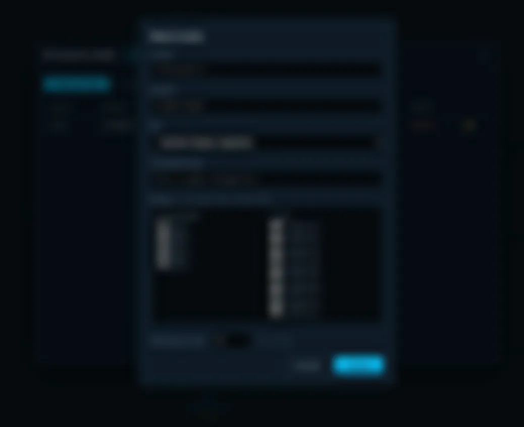
Figure 5 User management: account creation with role and fleet scope by group or individual vessel (simulated data).Interface content is blurred; layout and operating logic only.

Architecture & deployment

DUBHE is a command-post desktop application that runs complete on a single station and extends to multi-screen consoles. Guiding principle: full sovereignty — no cloud, 100% offline operation, data resident in the local environment.

Offline autonomy

Charts, database and speech model all reside on the machine; full capability without a network.

Sovereignty & licensing

In-house software with license-clean components, suited to sensitive-procurement audits.

Open integration

Proprietary data link, standard marine protocols, S-57 charts and KML import.

Flexible deployment

A standard workstation suffices; extendable to multi-screen consoles or fixed hardened cabinets.

Minimal training

Same interface language as PILOT: operator transition is immediate.

Continuous evolution

Modular architecture: geofencing, swarm and voice upgrade independently.

APPLICATIONS

Applications

One system, one way of operating — from leisure to public-agency work.

Yachting & recreation

Yacht escort, on-water photography and support for recreational activities.

Harbour & river inspection

Scheduled automatic patrols with full video and track records.

Marine research

Area sweeps with sensor payloads for hydrographic and environmental surveys.

Aquaculture & offshore assets

Routine rounds of farms, wind parks and marine installations, with fewer people at sea.

Survey & mapping support

Regular routes with image records for waterway surveys and works monitoring.

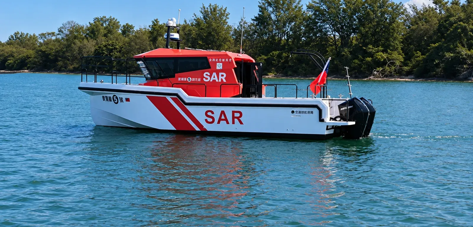
Search & rescue support

Thermal search for human heat signatures, aiding location in poor visibility.

Modules are configured per scenario (AIS collision avoidance, radar, multi-camera, AI thermal recognition); combinations and licensing on request.

ABOUT CORUM

From hull to software, first-hand

Headquartered in Taoyuan, Taiwan, CORUM Group brings over twenty years of maritime engineering — from yacht and vessel design and construction to complete unmanned surface vessel (USV) and autonomous surface vessel (ASV) solutions.

The group operates CORUM International (shipbuilding), Corum (unmanned-vehicle systems integration), AMAS (control hardware) and AMAS Vision (EO/IR), with full vertical integration from hull and propulsion to control hardware and software: we build the boat, we write the system, and we provide the service first-hand.

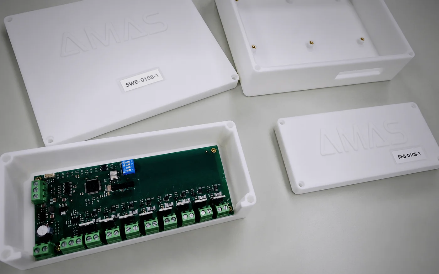
Because marine-grade control boards are hard to source in Taiwan, the group develops its own vessel control electronics, engineered for high humidity, salt, vibration and electromagnetic interference. The platforms span the PIRANHA fast series, the Cachalote work series and the Mahi-mahi semi-submersible series, all running the same PILOT system — one interface, simple maintenance.

Headquarters
Taoyuan · Taiwan
Maritime engineering
20+ years
Vertical integration
Hull · propulsion · hardware · software

IN OUR YARD

From process to delivery

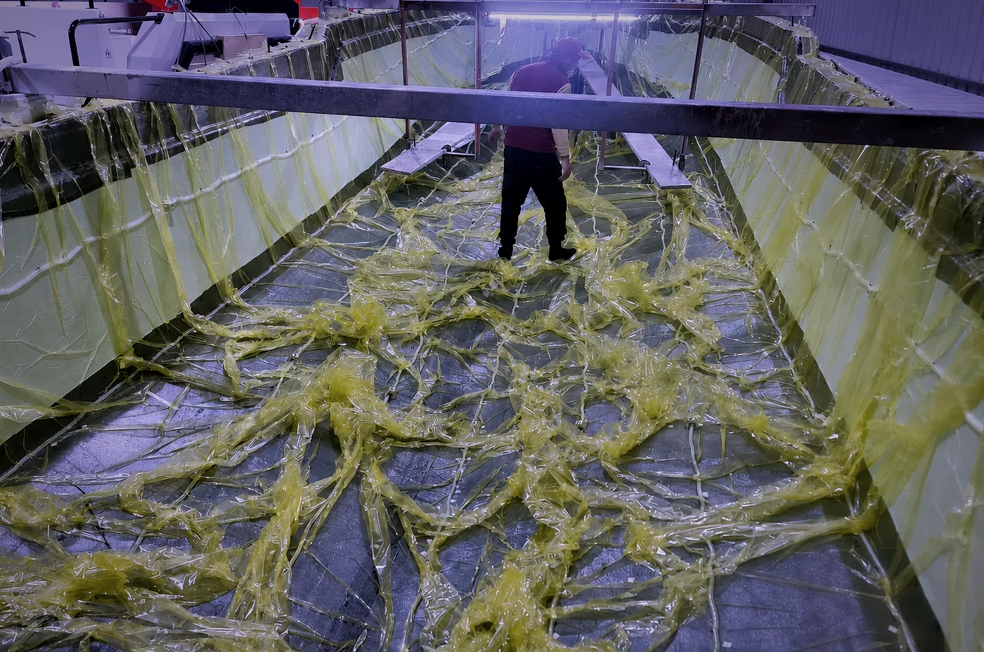
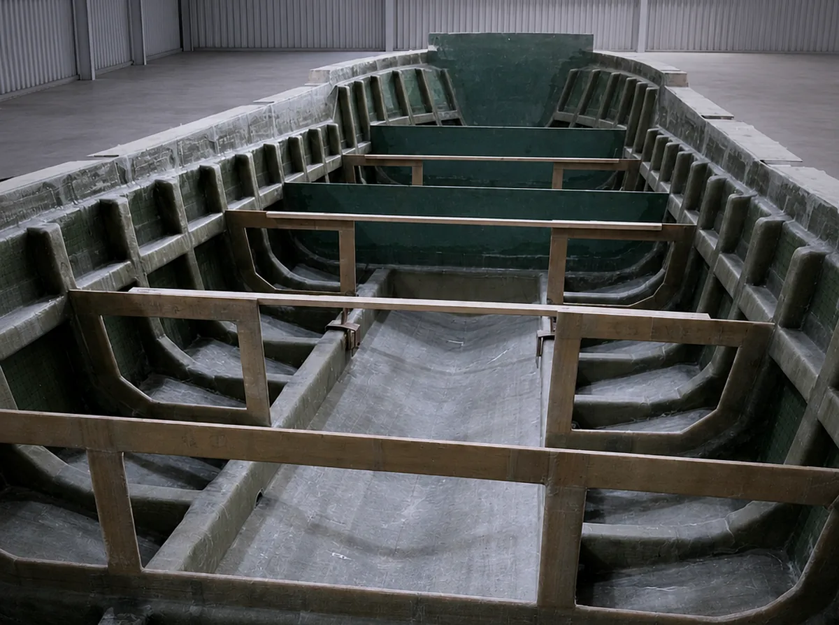
Composite moulding, structural assembly, control electronics and vessel handover — all four stages take place in the group's own facilities.

Vacuum infusion moulding
01Vacuum infusion moulding
Structural assembly
02Structural assembly
In-house control electronics
03In-house control electronics
Vessel delivery
04Vessel delivery

GET IN TOUCH

Tell us about your mission

Specifications, configuration and licensing can be discussed per project. Write to us for the full catalogue and technical documentation.

Address
No. 527, Luxing St., Luzhu Dist., Taoyuan City, Taiwan